Getting Around
Los Angeles Public Transportation Guide
How to ride Metro rail, buses, bikes, and rideshare around LA — and when each option makes the most sense for visitors.
How to ride Metro rail, buses, bikes, and rideshare around LA — and when each option makes the most sense for visitors.
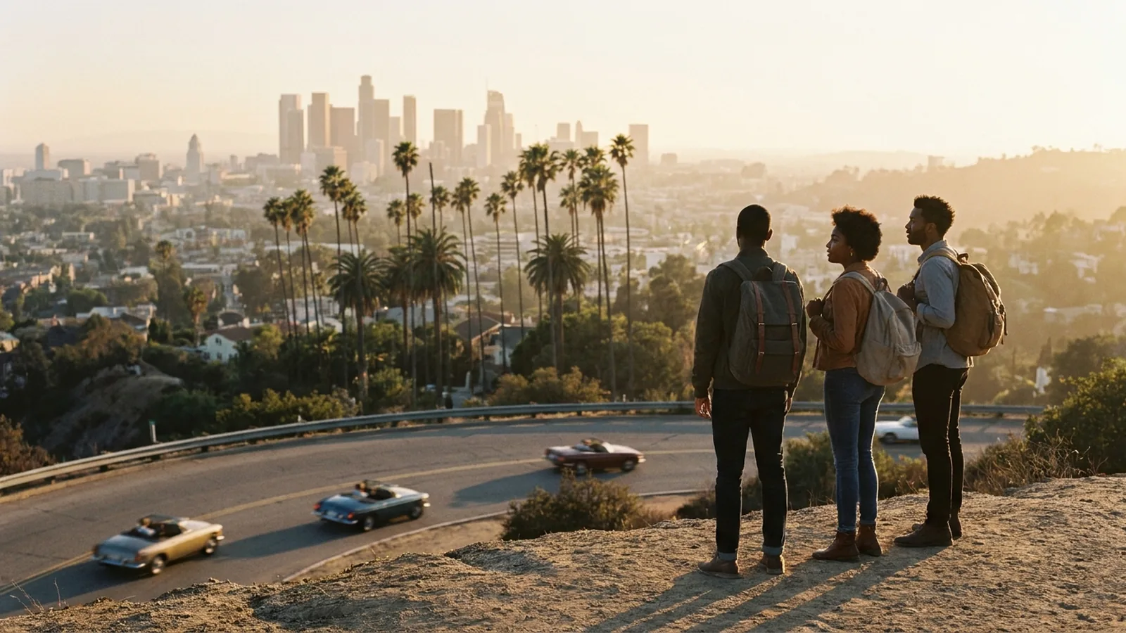
Los Angeles has a reputation as a car city, but its public transit network is far more useful than many visitors expect — especially if your trip centers on Downtown, Hollywood, Santa Monica, or the route to and from the airport. With a little planning you can skip parking headaches and ride between many of the city's biggest sights. This guide breaks down the Metro rail lines, buses, bike share, and rideshare so you can mix and match the right tool for each day. Because transit schedules and fares can change, always confirm current details on metro.net before you set out.
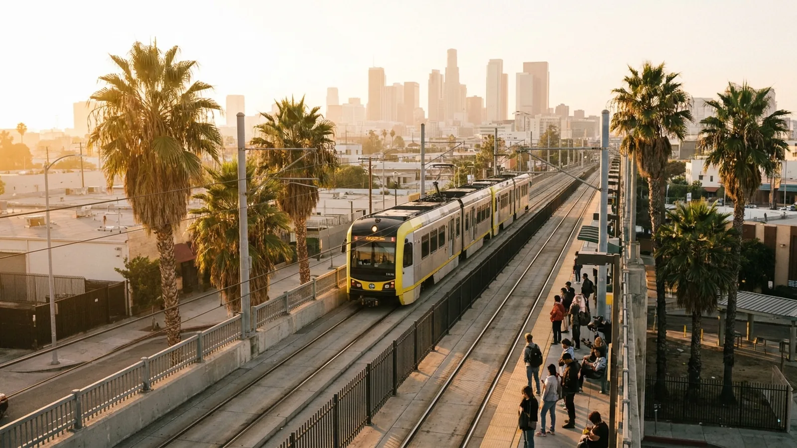
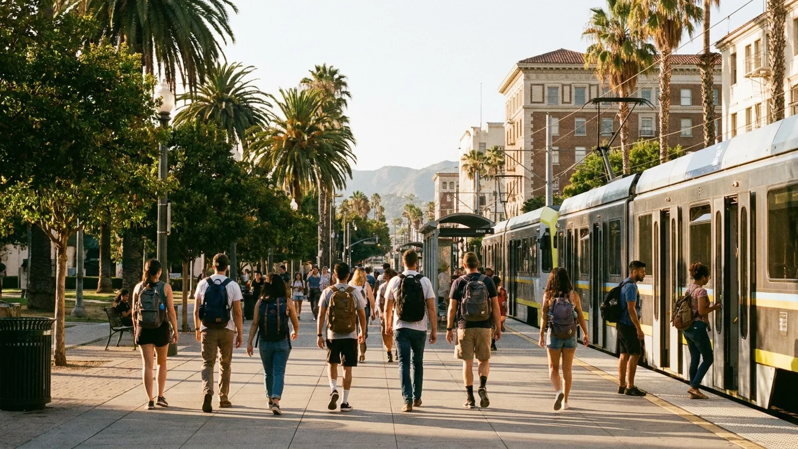
The backbone of LA transit is the Metro rail system, which is organized by lettered lines. The B Line and D Line are true subways that run underground through Downtown, the Westlake and Koreatown corridor, and up to Hollywood and North Hollywood on the B Line. These are the fastest way to reach Hollywood landmarks like the Walk of Fame, the TCL Chinese Theatre, and the Capitol Records Building without sitting in traffic.
The rest of the network is light rail. The A Line runs north to south, connecting Pasadena and the foothills through Downtown and on toward Long Beach, making it one of the longest light-rail lines in the country. The E Line travels east to west, linking Downtown to Santa Monica and the beach — a genuinely scenic, traffic-free way to reach the pier. The K Line serves the Crenshaw corridor and connects toward the airport area and Inglewood, near SoFi Stadium. Rail stations connect at hubs like Union Station and the 7th Street/Metro Center stop downtown, where you can transfer between lines.
Metro buses fill in the gaps that rail does not reach, and they cover an enormous share of the city. Local lines stop frequently, while Metro Rapid and the dedicated G Line and J Line busways move faster across longer distances. Beyond Metro, several cities run their own systems worth knowing: the Big Blue Bus in Santa Monica, Culver CityBus, and the DASH shuttles that loop through Downtown and other neighborhoods for a low fare. Buses are ideal for short hops that rail doesn't serve directly.
Most Metro rides use a reusable TAP card, which you can buy and reload at station machines or through the TAP app. The same card works across many connecting systems, which simplifies transfers. Fares are designed to be affordable, and Metro has offered daily and weekly fare caps in the past — check metro.net for the current fare structure, caps, and any free or reduced programs before your trip.
For short distances in flatter, denser areas like Downtown, the Metro Bike Share program lets you grab a bike from one docking station and return it at another. It pairs well with rail for that last mile. You'll also find app-based scooters and bikes in beach neighborhoods such as Venice and Santa Monica, where car-free travel is genuinely pleasant.
Rideshare services like Uber and Lyft, along with traditional taxis, are widely available and often the simplest choice for late nights, group trips, or destinations that transit doesn't reach well. At Los Angeles International Airport, rideshare and taxi pickups are handled at a dedicated lot called LAX-it (pronounced "L-A-X-it"), located just east of Terminal 1. You reach it by a free shuttle or a short walk from the terminals, then meet your driver there. Building in extra time for LAX-it during busy hours is wise. The Metro rail network also connects toward the airport, with an automated people mover and rail link expanding access — verify the latest airport connections on metro.net before you fly.
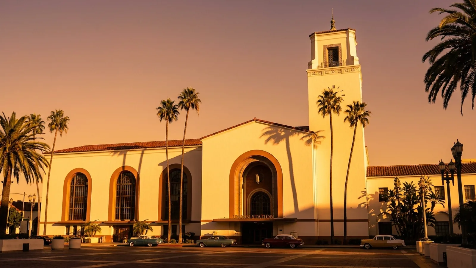
LA's grand historic rail hub and the central transfer point for Metro lines, Amtrak, and Metrolink.
Read more →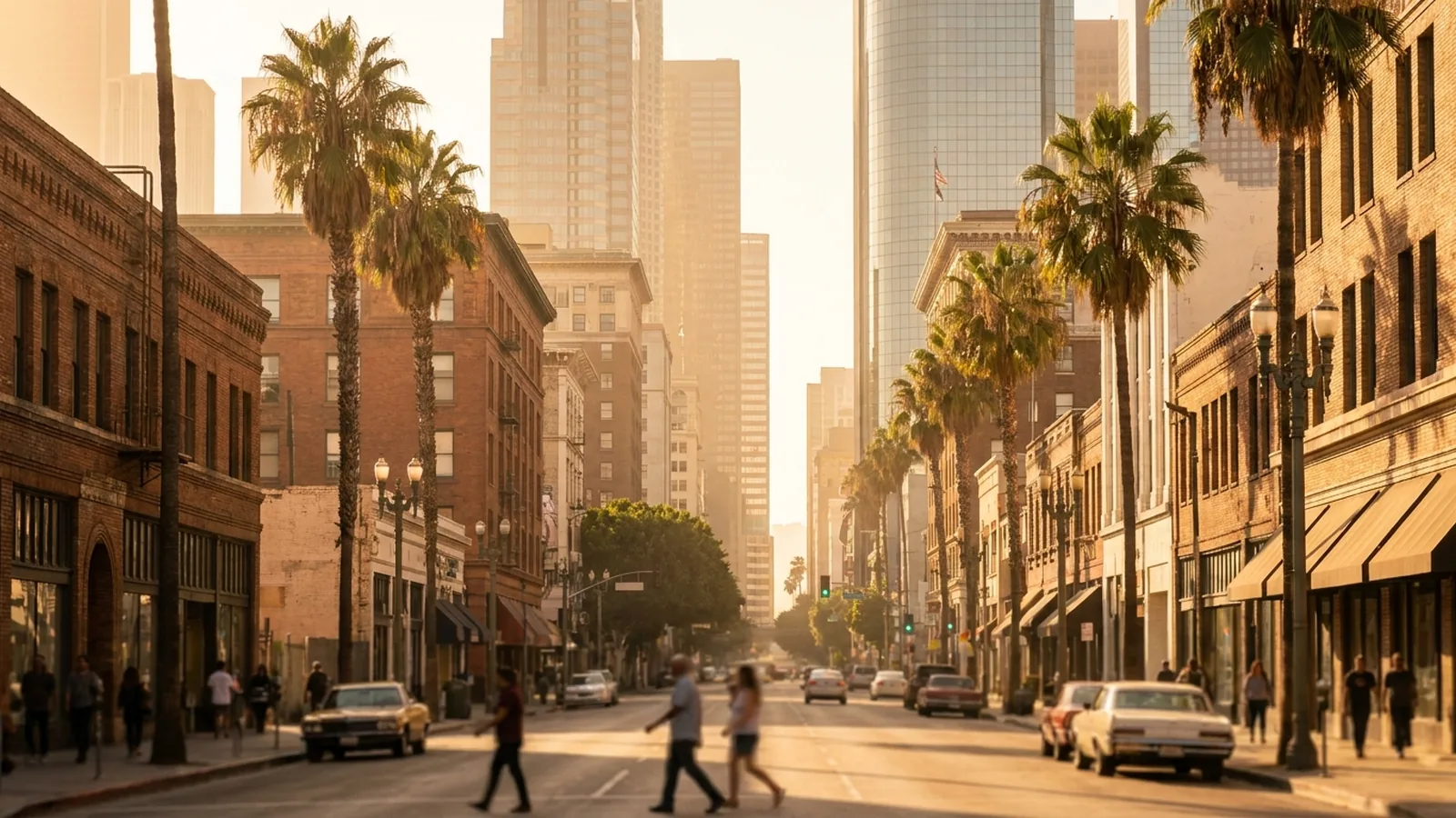
The most transit-rich part of the city, where the subway, light rail, DASH shuttles, and bike share all converge.
Read more →
Reachable by the B Line subway, making its landmarks easy to visit without a car.
Read more →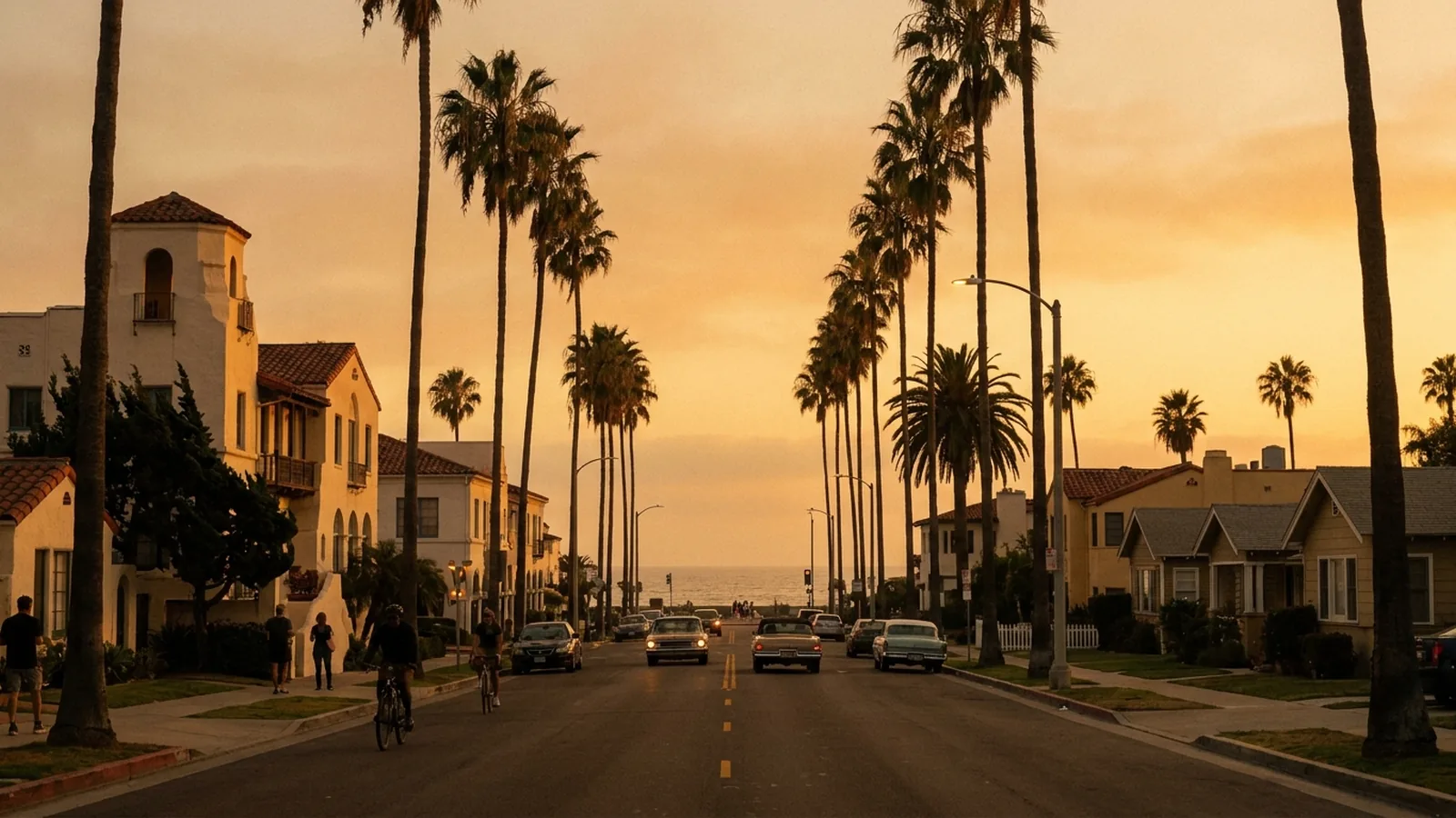
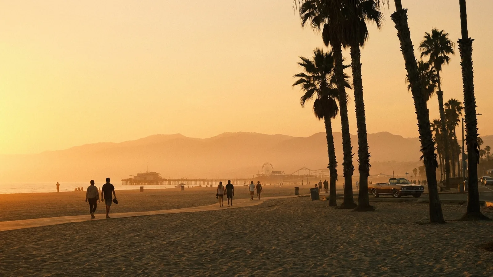
The E Line light rail runs straight from Downtown to the beach, with the Big Blue Bus filling in locally.
Read more →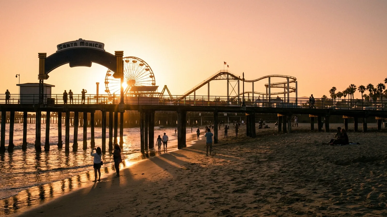
A classic car-free destination just a short walk from the end of the E Line.
Read more →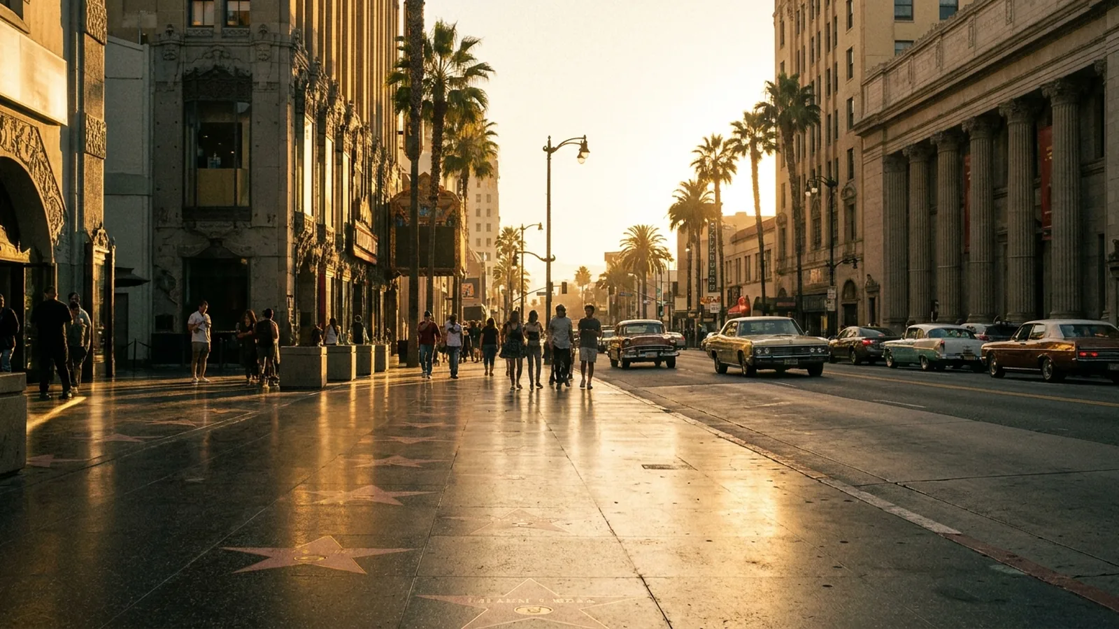
Steps from B Line subway stops, so you can skip the search for parking.
Read more →
Connected to Downtown by the A Line, with Old Pasadena walkable from the station.
Read more →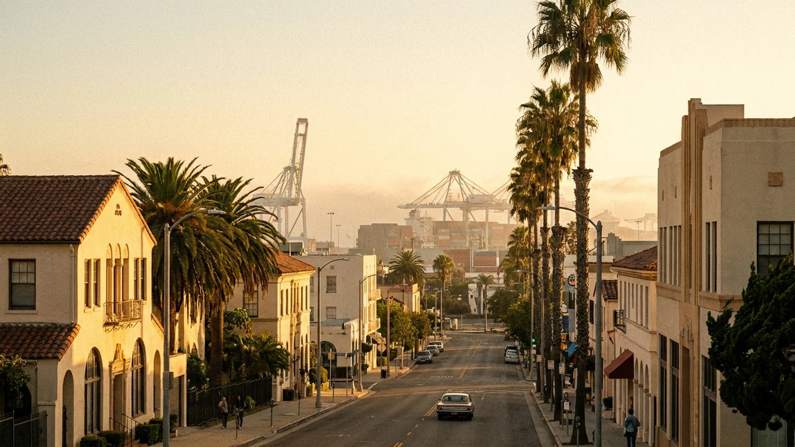
The southern end of the A Line, a relaxed coastal city you can reach by rail.
Read more →The picks in this guide that have a map location.
Map pins are approximate and for visitor planning only — they may not mark the exact entrance or parking. Please check official directions before visiting.
Want this turned into a day-by-day plan?
Our free AI LA Travel Planner builds a personalized itinerary in seconds.
For many visitors, yes — especially if you base yourself near a rail line and focus on Downtown, Hollywood, and the beach. You'll likely combine Metro rail, buses, walking, bike share, and the occasional rideshare. Some outlying areas are still much easier with a car, so it depends on your itinerary.
Most riders use a reusable TAP card, which you can buy and reload at station machines or in the TAP app, then tap when entering rail stations and boarding buses. The same card works on many connecting systems. Check metro.net for current fares and any daily or weekly fare caps.
Rideshare and taxi pickups happen at a dedicated lot called LAX-it, just east of Terminal 1. You can walk there or take a free shuttle from the terminals, then meet your driver. Build in extra time during busy periods.
 Planning
Yes, you can do LA car-free. Here's how to use the Metro rail, the beach, and a little planning to see the city without ever touching a steering wheel.
 Planning
Everything a first-timer needs to know before landing in LA: how the city is laid out, when to go, how to get around, and how to avoid rookie mistakes.
 Itineraries
A single day, done right: a sunrise-to-sunset route that strings together LA's biggest icons without leaving you stuck in traffic.